What Are Cadastral Maps and Their Uses?
A cadastral map depicts the areas of the parcel of land plans, ownership, dimensions, and assessed value of the said parcel or plot of land. Originally, they served merely as records on the ownership of land and its division for taxes and laws. Still, today, they are vital instruments when it comes to the administration offlands. All these maps define the exact location and area of properties in the most detailed manner.
Evaluations from the existing literature indicate that cadastral maps have many potential uses. Apparently, they are used to support issues related to property ownership, especially given the fact of land registration and property deeds, to reduce the chances of misunderstanding over ownership of this vital resource. In urban design, these maps serve as tools to plan and design parts of the city and help in building construction and allocation of resources. Environmental groups adopt them to monitor changes in the usage of the land and the cost of management of natural resources. It is also used for preparatory planning for crises where services and help can be dispatched without much delay. In summary, cadastral maps are an essential tool in carrying out most governmental tasks, land and real estate businesses, undertaking city planning, and the conservation of natural resources.
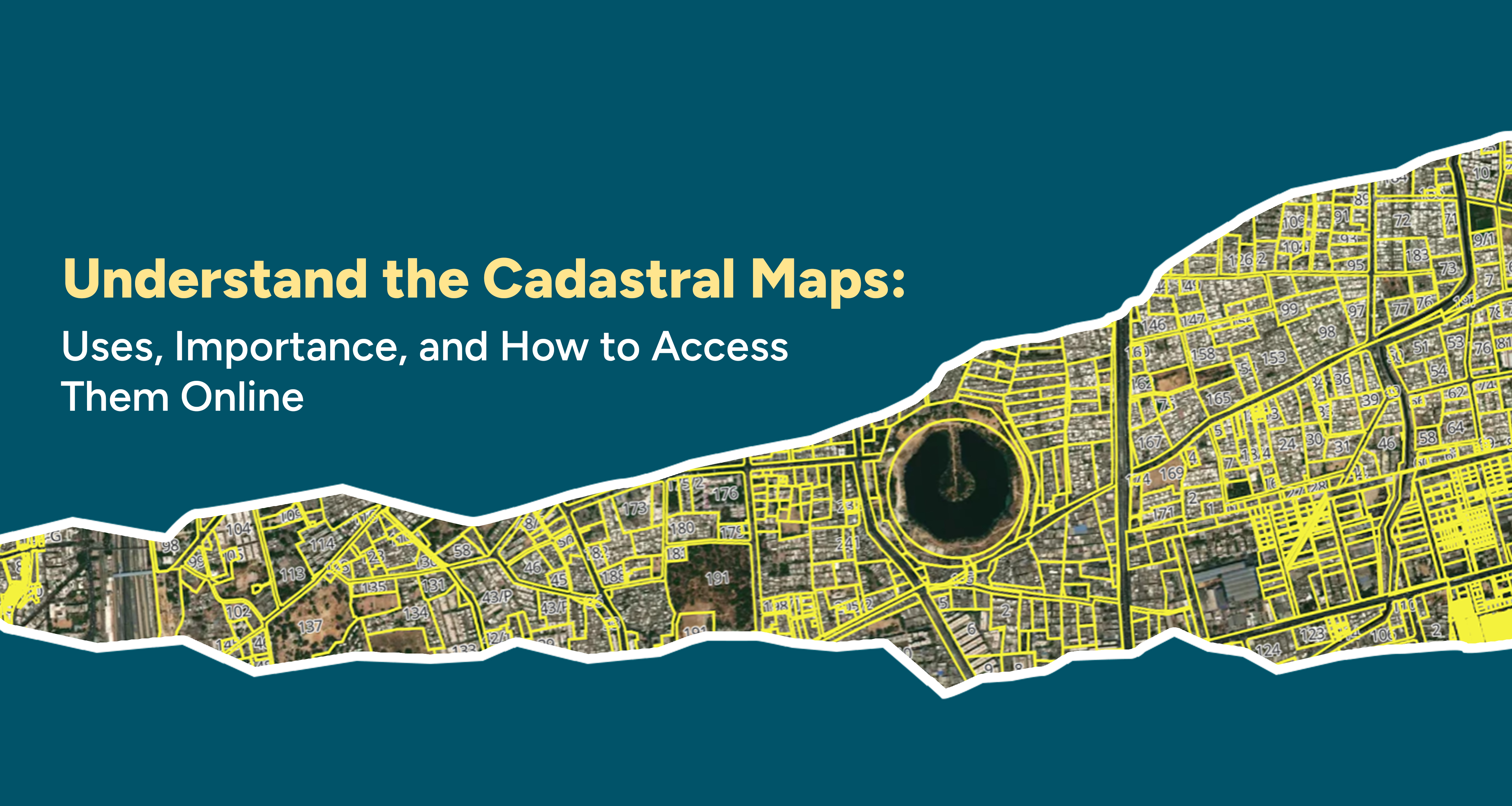
The amount of information which lies in cadastral maps is enormous, and it is really helpful for many different tasks. They depict the exact boundaries of properties in a way that is easy to determine a specific point where one property is located and where the other one is located. Every single piece of land is normally referred to as a parcel, which is normally assigned with its own special number so that identifying it whenever needed can be easy. The maps also illustrate the area and proportion of the respective property, which is helpful in legal tasks or in administration.
The map also informs you who owns the land; it might even show past owners. They indicate permanent installations such as buildings and fences, among other installations, thus playing a crucial role in the evaluation of land and city planning. As to the maps, those indicated for the countryside might show what the territory is designated for farming, living, or having a business. They also reveal information about infrastructure, such as roads, electricity installations, and water channels, which are very important when it comes to allocating resources. Thus, cadastral maps are extremely detailed instruments that contain essential data on numerous individuals, various types of land holdings, and sundry uses.
They refer to a bundle of map-like documents which are classified into different categories depending on their purpose. Legal cadastral maps are quite different from cadastral maps in that they tend to emphasize legal and administrative issues like property ownership and property boundaries, providing intricate details for legal functions. They are topographic cadastral maps containing topographic data such as property boundary lines and altitude, which can help planners in organizing infrastructure and land usage.
Urban cadastral maps represent urban territories and provide an overview of properties and constructions, infrastructures, and facilities, as well as data on zoning, which are critical for city planning. Rural cadastral maps are concerned with farmland, showcasing how the land is used, the kind of crops, and the ways and means of employing irrigation, which is helpful when it pertains to farming management and policies.
The other kind is thematic cadastral maps that contain additional details like the population, the type of usage of the land, or even the geographical features added on the basic outline of the map. The modern form is known as digital cadastral maps which utilizes Geographic Information Systems (GIS) to create a media that allows for more interactivity, is easily updated as well as highly detailed and specific map based land information. Thus, different types of cadastral maps are developed to suit different requirements, making their use relevant in various fields.
Cadastral maps are incredibly useful in many ways: For the purpose of overseeing land management, for example, cadastral maps get the job done swiftly and clearly. From the perspective of the property owners, these maps make a legal distinction of the boundaries that are so vital in preventing petty squabbles or in the sale of the properties. Lenders, real estate brokers, and agents need these maps to provide detailed information about properties when determining their value and worthiness of investment.
Citizens – individuals, companies, or entities require cadastral maps for registration and tactical operations such as land acquisition and management for business use or investment. This is crucial in addressing the needs of society in infrastructure development, such as roads, utilities, and other amenities through parcel info. Erratics of land use also essentially necessitate these maps in that they aid in the conservation of the environment, natural resources in particular.
Cadastral maps are indispensable in disaster management since they provide the location of the properties and vital amenities necessary for planning risks and creating interventions. Conclusively, the application of cadastral maps in decision making, law, and management of land provides better solutions.
Cadastral maps play the most iconic role in overall administrative work associated with land and its management. They provide clear information about the geographical location and ownership of the property; this assists in the avoidance of dispute cases through legal Apartment, which gives accurate descriptions of boundaries of property and ownership, hence removing chances of dispute. These maps are best suited to urban planners as they can make proper development while being cautious with the kinds of development, this ensures that the land and infrastructures are utilized appropriately.
Real estate is made easier in terms of proper valuation of properties and to enhance the process of sale. They apply cadastral maps for analysis of alterations in land use and for the purpose of conserving the resources in the environment. These maps serve in disaster relief situations, especially when it comes to distinguishing where a rapid, coordinated response or resources are needed. In general, cadastral maps protect important resources for maintaining good governance, planning, and usage.
Cadastral maps should be kept ordinary and updated always in order to facilitate better land management. With frequent mapping, one is able to see new mapping that is most current and hence do away with any dispute that may come up over the property lines as well as ownership. This updated info. It is also very helpful in determining where, for instance, roads, buildings, etc., in the cities and or how which sector should be used in a city.
When people are involved in any transaction and or conveyance in particular, those involved require the most updated maps to enable them to avoid pitfalls and practices, whatever being fraudulent. This ensures that the environment is protected while at the same time managing the available resources in the right manner as well. An example is the case of catastrophes such as floods and earthquakes; in the event of such calamities, new maps are a necessity to determine where things are and how to get there.
In total, keeping cadastral maps updated will mean that we have up-to-date cadastral maps to enable good decision-making on how to manage land, look to the future, and rightfully protect the environment.
To view cadastral maps or Bhu Naksha, one needs to visit the official website of the respective land record authenticating authority of that area. Search the passage where it will mention cadastral maps or Bhu Naksha. If one needs to search for an article, enter the details, such as the name of the district, village, or survey number of the area or property of the required article.
After getting inside, it is easier to navigate around the site simply because there is a map on the website where you can zoom in and locate the area that you are keen on. That is how and where you find property lines within the current piece of property and who owns it, as well as sometimes previous owners.
Many of these sites offer the possibility to print or download the maps and this can be of use both when there is a need to present it as a piece of evidence or just for personal use. It is also very useful to browse cadastral maps on the Internet as it helps you to get some critical data about land at once.